Green Monarch Ridge SOTA Activation (W7I/NP-098)
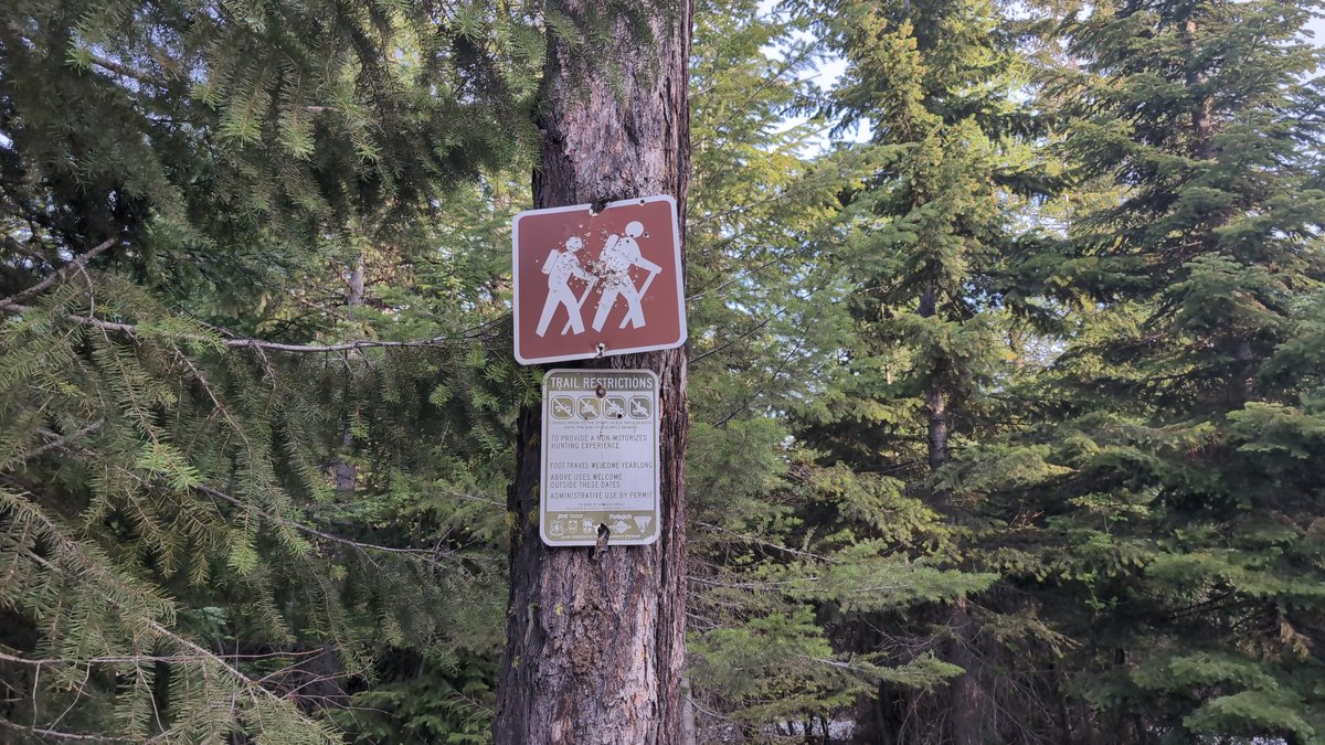
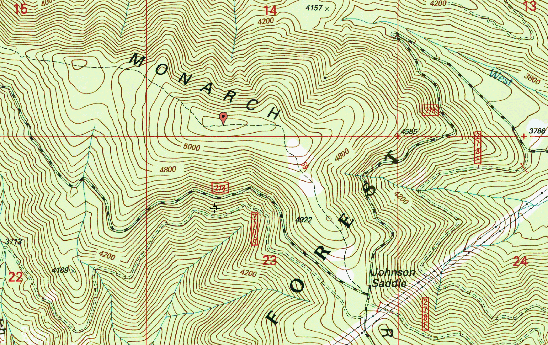
After getting my feet wet activating Horn Mountain as a drive up peak, I decided it was time to shake off the rust and go on an actual hike. This particular SOTA activation required a bit of map cross-referencing as the route to the top wasn't immediately available on the Sotl.as map. After checking Google Maps I was able to confirm that the trailhead did indeed exist but the satellite image of the trail itself couldn't be followed to the summit. My usual map of choice OpenSteetMap had no trail available either. This prompted me to start scouring the web for other map websites, ultimately discovering ListsOfJohn.com. LoJ is an incredible resource that provides many different maps of a single area, with some available maps being from 1885 and 1945 respectively. After selecting the CalTopo map option, lo and behold a trail to the summit appeared.
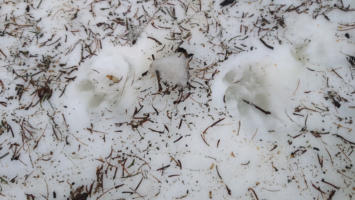
The initial section of the trail is steep, reminding me just how out of shape I am. Even in mid May there are large deep patches of snow hiding in the shadows of the pines, just waiting for the opportunity to pack an unprepared hiker's socks with months old ice.
While walking I realized that I could find no other boot prints in the snow or mud, and was likely the first person to have walked the trail since last Fall. There were however plenty of deer prints peppered in the snow. Additionally there were a few prints of what could only be a canine, but as there were no boots to accompany them I had to assume the prints were wolf or coyote.
Reaching the summit after a mere mile I was able to set up my 40M EFHW with the assistance of my telescoping fishing rod and a few local saplings. Trying the local 2 meter band on my handheld first, I was able to successfully contact Drew KG7YSX heading north on the 95 and Josh W7ITZ at his home at a secret undisclosed location somewhere in North Idaho.
At the time we all thought that we didn't have line of sight to each other and that the signals must have been bouncing off of the mountains. After getting home and checking the RF LOS tool, it turned out that I did indeed almost did have perfect LOS to both locations. That being said, every little bit of elevation counts. I was able to confirm from both parties that my transmission clarity was boosted significantly when standing on this elevated tree stump, a mere 2-3 feet above where I previously was.

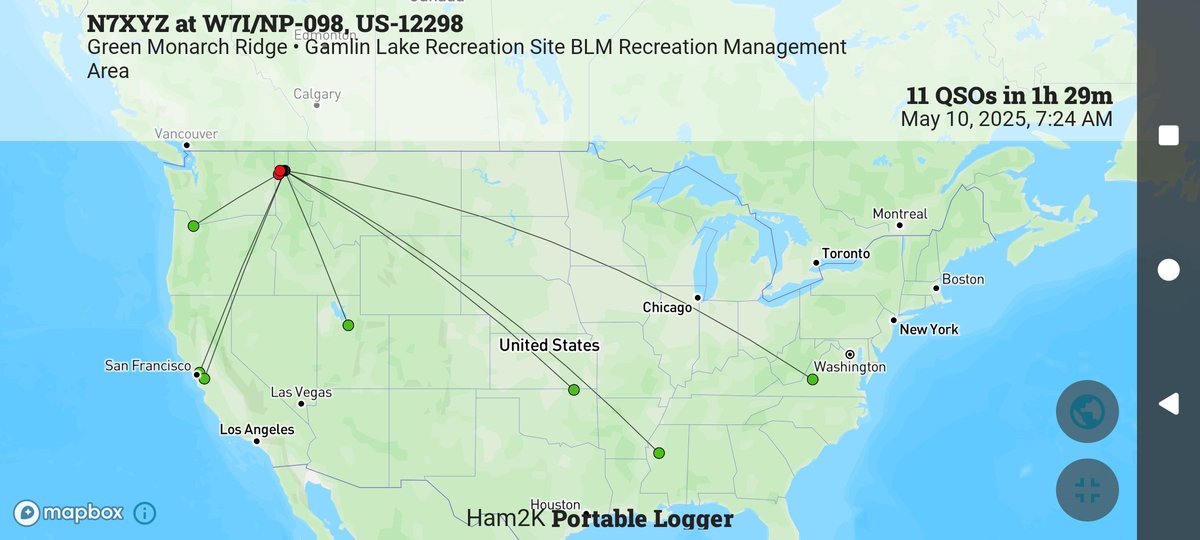
Because I had decent cell phone reception at the summit I was able to spot myself on 20 meters and let the chasers come to me. While logging contacts with the help of Ham2K's PoLo app I realized that I was also technically within a valid Parks On The Air (POTA) zone. After getting the 5 contacts required to complete the activation, I pursued a few more Summit to Summit (S2S) and Park to Park (P2P) contacts before calling it a day and heading home.
I am very much looking forward to revisiting the area for both hiking and SOTA. The wall of silence that hit the trees after I turned off the radio was eerie, something I hadn't experienced in a long time. I couldn't help but feel like I had somehow violated a sacred space with static and the voices of distant strangers. Thankfully Sasquatch wasn't nearby to express his grievances.
Contacts logged:
14:24 KG7YSX 2m s55 r55
14:25 W7ITZ 2m s55 r48
14:44 W7ITZ 20m s59 r59
14:49 AC6M 20m s42 r53, S2S W6/NC-516
15:21 WF7Q 20m s59 r53
15:23 K4RXL 20m s53 r53, S2S W4V/FC-051
15:28 KG7PRD 20m s55 r41
15:30 W5ODS 20m s53 r41
15:32 K6EL 20m s42 r55, S2S W6/NC-298
15:47 N5BO 20m s41 r43
15:53 KG5FLM 20m s41 r52